Drone Services by Gemstone Utility

Aerial Solutions for Smarter Utility Management

Advanced Drone Services for Utility Excellence Powered by the DJI Mavic Enterprise 3T

At Gemstone Utility, we’re revolutionizing utility services with the DJI Mavic Enterprise 3T, a cutting-edge drone equipped with thermal imaging, 2D orthomosaic, and 3D rendering capabilities. Our aerial solutions complement our industry-leading underground locating services, providing a complete view of your infrastructure—above and below ground. From inspections to detailed mapping, our drones deliver fast, safe, and accurate results for all your utility needs.

Meet the Pilots

Ryan

Ryan Cook

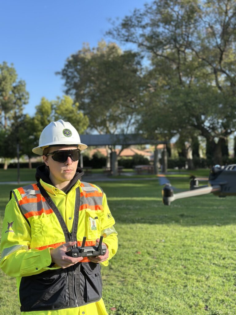
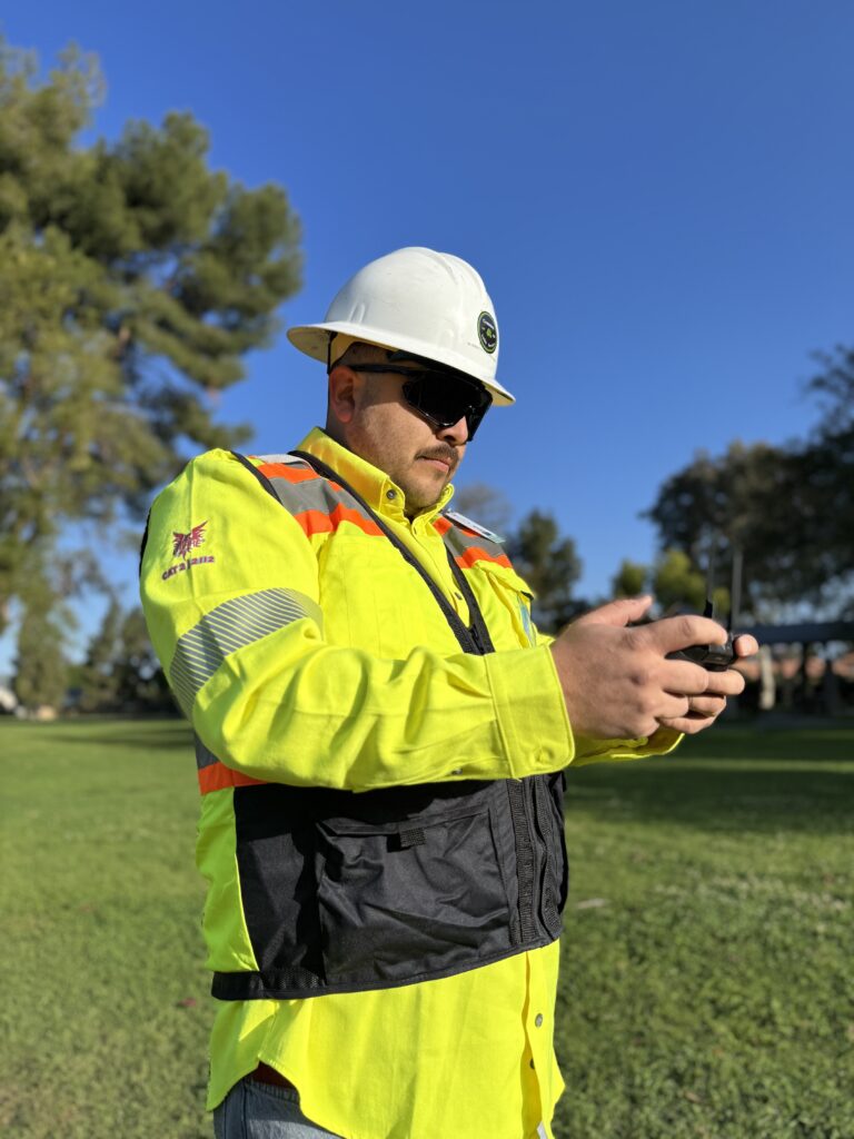
Ryan serves as a Lead Pilot at Gemstone Utility Services, specializing in drone training, avionics, and software integration to ensure operations remain efficient and technologically advanced. With extensive experience managing the technical aspects of drone systems, Ryan is dedicated to providing comprehensive training and support to the team. Whether enhancing the performance of the drone fleet or implementing cutting-edge drone software, Ryan focuses on delivering safe, precise, and high-quality results for every project.
 
Driven by a passion for aviation and technology, Ryan equips pilots= pilots with top-tier tools and knowledge, enabling flawless mission execution. Ryan and the team work together to set new standards in the utility sector, delivering innovative drone solutions to every challenge.

Jason Gomez

At Gemstone Utility, Jason leads with an unwavering commitment to innovation, precision, and collaboration. He drives the company’s unique approach, integrating advanced drone technology, including the DJI Mavic Enterprise 3T with thermal imaging, 2D orthomosaic, and 3D rendering, alongside deep industry expertise in underground utility locating. Through his leadership, this powerful combination delivers comprehensive solutions that meet today’s infrastructure challenges and pave the way for a smarter, more resilient future.
SERVICE DETAIL

Advancing the Grid with Drone Tech

Our DJI Mavic Enterprise 3T drones enhance grid capacity with thermal imaging, 2D orthomosaic maps, and 3D rendering, enabling precise inspections, renewable energy integration, and smart grid solutions for modern utility needs.

Aerial Grid Modernization

Gemstone Utility uses the DJI Mavic Enterprise 3T to modernize electrical grids with aerial inspections, 2D orthomosaic mapping, and 3D rendering. This ensures better renewable energy integration and future-ready infrastructure. Our drone strategies enhance grid efficiency and sustainability for long-term performance.

Thermal Wildfire Prevention

With the DJI Mavic Enterprise 3T, Gemstone Utility leverages thermal imaging to detect heat signatures and potential fire risks along utility lines. Our drone-powered approach enables proactive wildfire prevention, ensuring safer infrastructure and reducing the risk of outages in fire-prone areas.

Seamless Drone Mapping

Gemstone Utility employs drone technology to streamline utility mapping with 2D orthomosaic maps and 3D models from the DJI Mavic Enterprise 3T. This ensures accurate planning for conversions, whether underground or overhead, enhancing project efficiency and reducing risks during implementation.

Aerial Infrastructure Support

Our DJI Mavic Enterprise 3T supports infrastructure development by providing high-resolution aerial data, 3D renderings, and thermal insights. Gemstone Utility ensures safer and more efficient project planning, helping to build robust utility systems that meet modern demands with precision and reliability.

Drone Damage Assessment

Gemstone Utility uses the DJI Mavic Enterprise 3T for rapid aerial damage assessments after storms or disasters. With thermal imaging and high-resolution visuals, we identify infrastructure issues quickly and safely, enabling faster recovery and minimizing downtime for utility systems

Drone Project Forecasting

Using drone-captured data from the DJI Mavic Enterprise 3T, Gemstone Utility enhances project forecasting with 2D maps and 3D models. This provides accurate insights into timelines, costs, and risks, ensuring utility projects are planned and executed with precision for optimal outcomes.